Darama, Yakup
Loading...
Profile URL
Name Variants
D., Yakup
Yakup Darama
Yakup, Darama
Darama,Y.
Darama Y.
Y., Darama
D.,Yakup
Darama,Yakup
Darama, Yakup
Y.,Darama
Darama, Y.
Yakup Darama
Yakup, Darama
Darama,Y.
Darama Y.
Y., Darama
D.,Yakup
Darama,Yakup
Darama, Yakup
Y.,Darama
Darama, Y.
Job Title
Profesör Doktor
Email Address
yakup.darama@atilim.edu.tr
Main Affiliation
Civil Engineering
Status
Website
ORCID ID
Scopus Author ID
Turkish CoHE Profile ID
Google Scholar ID
WoS Researcher ID
Sustainable Development Goals


Documents
12
Citations
198
h-index
9
Documents
9
Citations
98
Scholarly Output
12
Articles
6
Views / Downloads
44/49
Supervised MSc Theses
5
Supervised PhD Theses
0
WoS Citation Count
71
Scopus Citation Count
99
Patents
0
Projects
0
WoS Citations per Publication
5.92
Scopus Citations per Publication
8.25
Open Access Source
3
Supervised Theses
5
| Journal | Count |
|---|---|
| Natural Hazards | 2 |
| Environmental Earth Sciences | 1 |
| Hydrological Research Letters | 1 |
| IOP Conference Series: Materials Science and Engineering -- 3rd International Conference on Sustainable Engineering Techniques, ICSET 2020 -- 15 April 2020 -- Baghdad, Vitrual -- 162233 | 1 |
| Journal of Hydrologic Engineering | 1 |
Current Page: 1 / 2
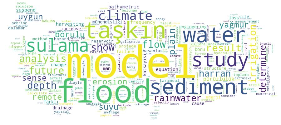
Competency Cloud