Yılmaz, Meriç
Loading...
Profile URL
Name Variants
M., Yilmaz
Yilmaz M.
Yilmaz,M.
Y.,Meric
Selamoglu M.
Meric, Yilmaz
Yilmaz, Meric
Y., Meriç
M., Yılmaz
Meriç Yılmaz
Apaydin M.
Meriç, Yılmaz
Yilmaz,Meric
Y.,Meriç
Yılmaz, Meriç
M.,Yilmaz
Yılmaz,M.
M.,Yılmaz
Y., Meric
Yilmaz M.
Yilmaz,M.
Y.,Meric
Selamoglu M.
Meric, Yilmaz
Yilmaz, Meric
Y., Meriç
M., Yılmaz
Meriç Yılmaz
Apaydin M.
Meriç, Yılmaz
Yilmaz,Meric
Y.,Meriç
Yılmaz, Meriç
M.,Yilmaz
Yılmaz,M.
M.,Yılmaz
Y., Meric
Job Title
Doçent Doktor
Email Address
meric.yilmaz@atilim.edu.tr
Main Affiliation
Civil Engineering
Status
Website
ORCID ID
Scopus Author ID
Turkish CoHE Profile ID
Google Scholar ID
WoS Researcher ID
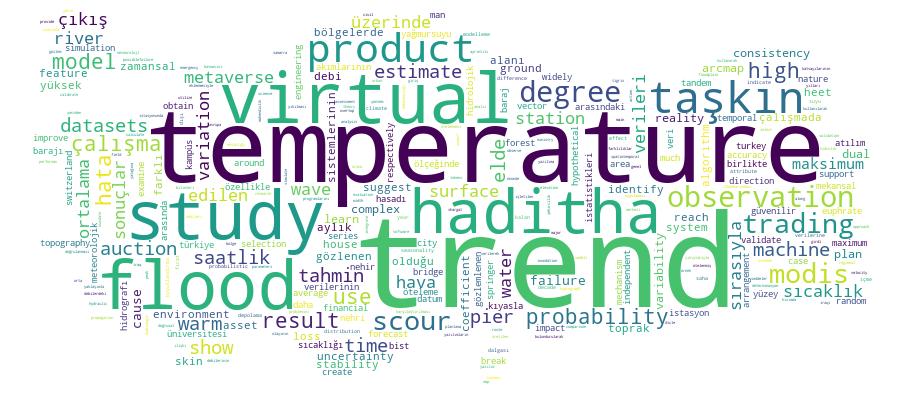
Sustainable Development Goals


Documents
9
Citations
250
h-index
6
Documents
9
Citations
214
Scholarly Output
10
Articles
5
Views / Downloads
16/57
Supervised MSc Theses
3
Supervised PhD Theses
0
WoS Citation Count
151
Scopus Citation Count
199
Patents
0
Projects
0
WoS Citations per Publication
15.10
Scopus Citations per Publication
19.90
Open Access Source
3
Supervised Theses
3
| Journal | Count |
|---|---|
| Communications in Computer and Information Science -- 29th European Systems, Software and Services Process Improvement, EuroSPI 2022 -- 31 August 2022 through 2 September 2022 -- Salzburg -- 282449 | 1 |
| Doğal Afetler ve Çevre Dergisi | 1 |
| Environmental Science and Pollution Research | 1 |
| Journal of Applied Water Engineering and Research | 1 |
| Journal of the Croatian Association of Civil Engineers | 1 |
Current Page: 1 / 2
Competency Cloud